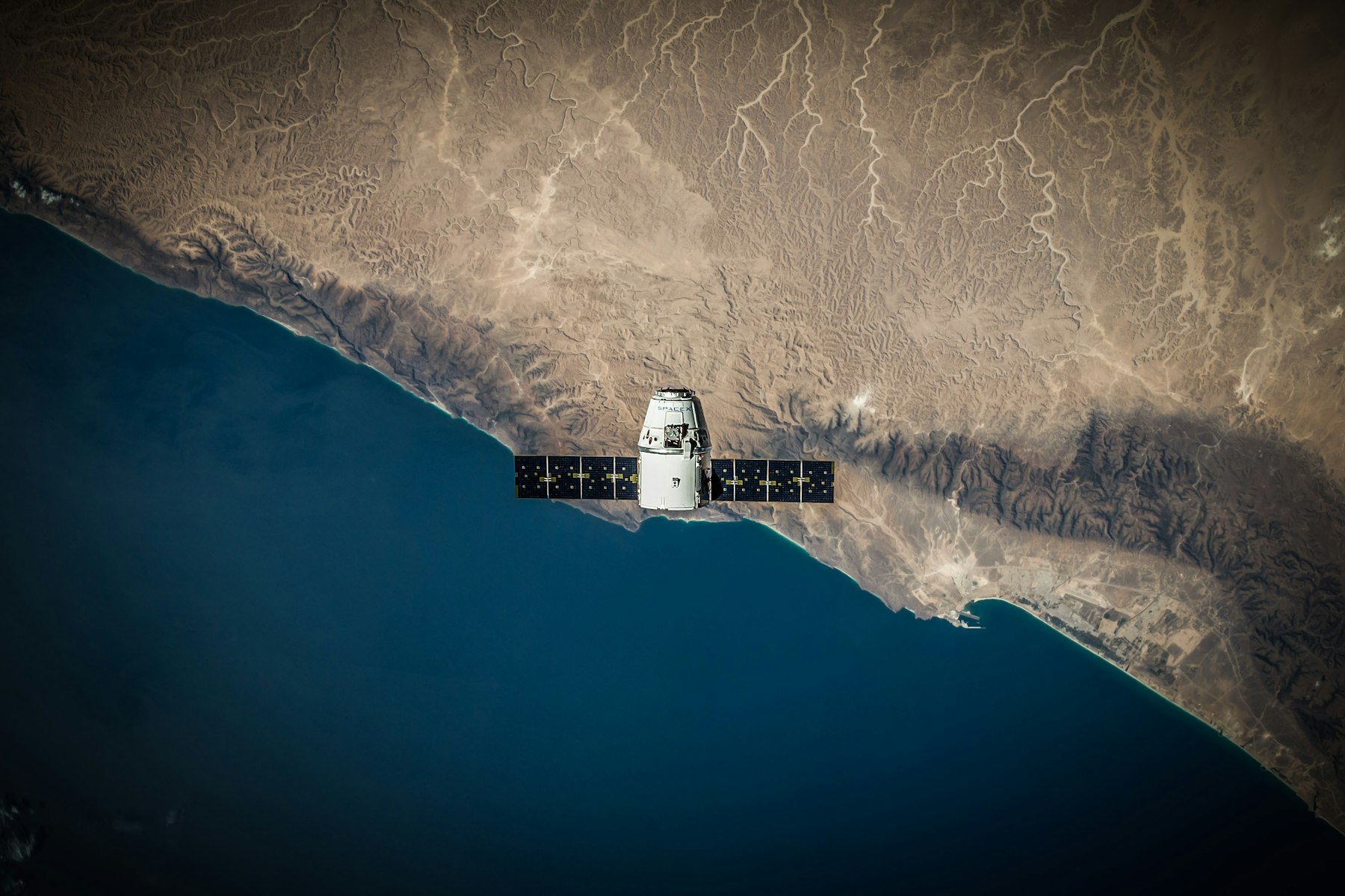
Space & GEOINT
Pipelines and platforms for satellite imagery and geospatial analysis.

Defense & intelligence engineering
AI, cloud, and edge systems for space, ground, and cyber missions—built to work where the mission is.
McQueen Solutions has supported national security missions since 2012. We do the engineering ourselves, and we stay until it works in the field.
Mission experience
Pipelines and platforms for satellite imagery and geospatial analysis.
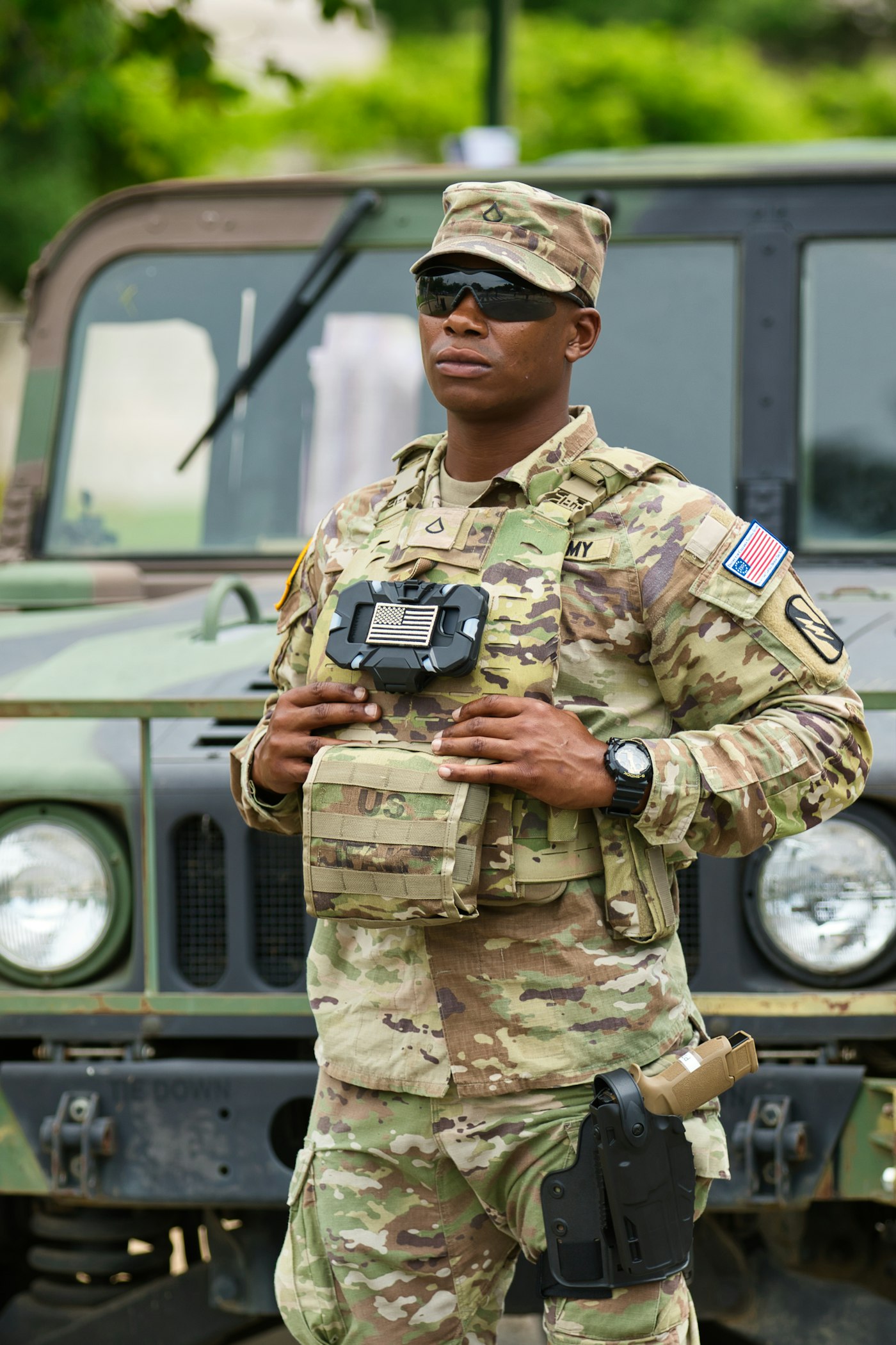
Compute and mission software for vehicles, command posts, and disconnected sites.

MLOps, computer vision, and agent workflows, deployed on-prem or air-gapped.
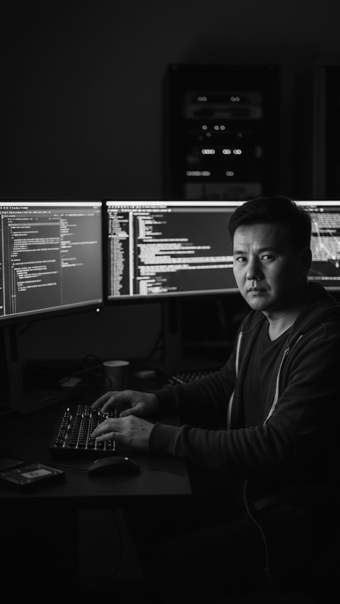
AI-assisted security assessments across software and infrastructure.
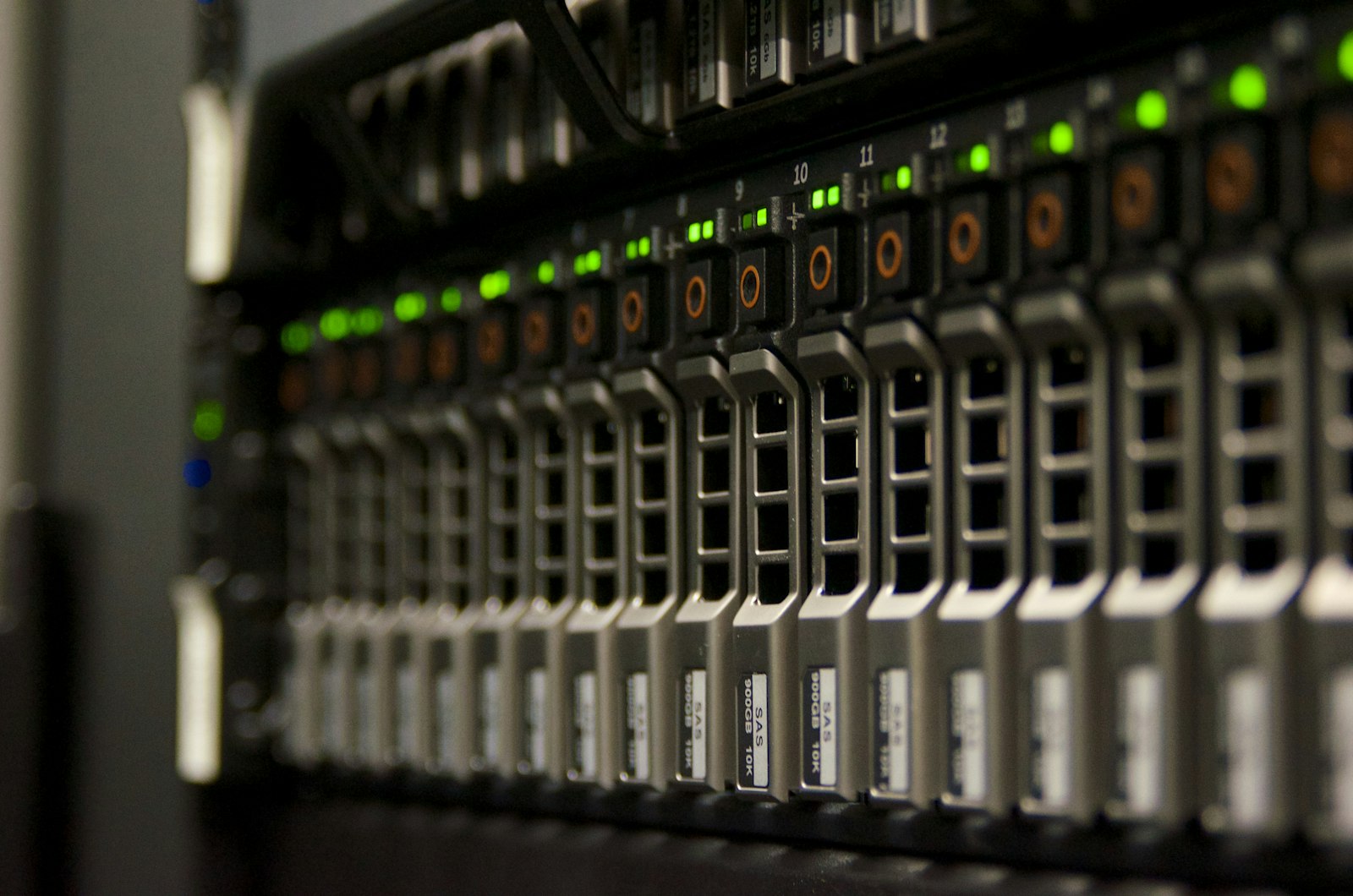
Kubernetes and OpenShift, from the enterprise data center to the field.
In the field
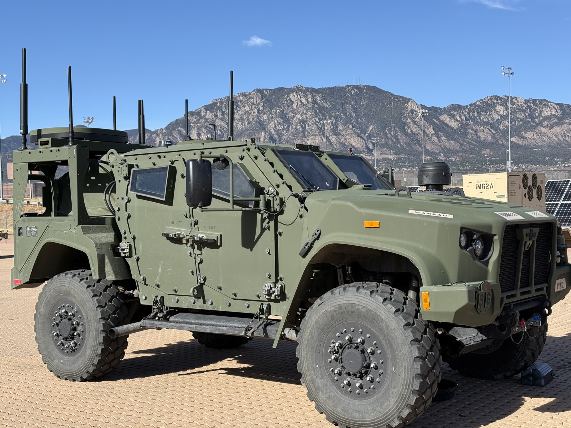
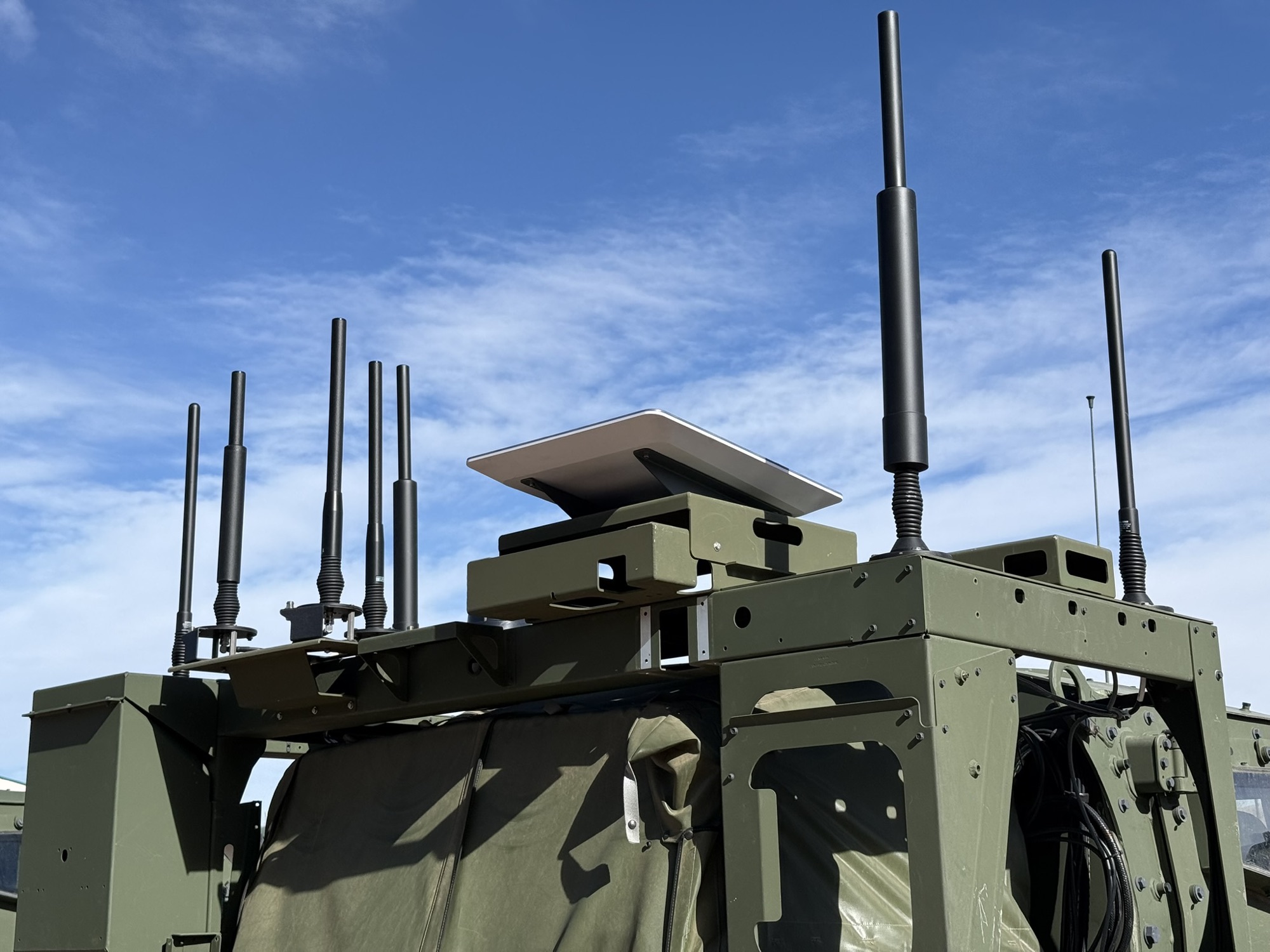
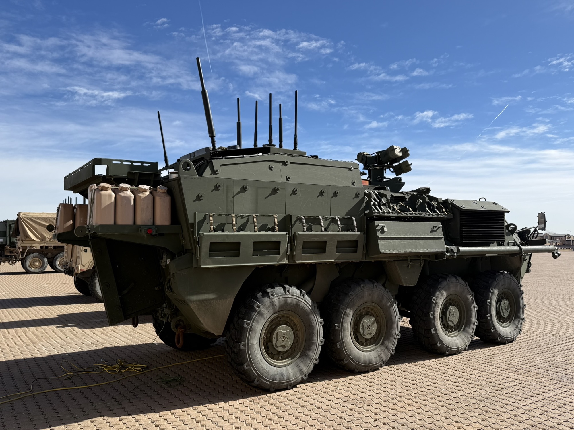
Our Army work puts geospatial intelligence in the hands of units on the move—integrated with Anduril and Palantir technologies and connected over Starshield from the vehicle. We bring cloud-native engineering to platforms that move, lose their link, and still have to work.
Tell us about the mission and what's in the way.